Barkur matters because several histories meet here
Barkur is an important place for understanding coastal Karnataka because its past cannot be reduced to one dynasty or one monument. Government historical accounts identify it as an Alupa capital, a centre under Hoysala authority and a provincial seat during Vijayanagara rule. Its surviving religious buildings, inscribed stones and fort remains give material form to those successive roles.
The word capital needs care. It describes a political function at a particular time, not a permanent status that applies to every century of a town’s life. Likewise, a dynasty’s association with the coast does not mean that its authority, territory or principal centre stayed unchanged. Barkur becomes more interesting when these differences remain visible. It lets us consider how a regional centre could retain importance while the wider political order changed, and how its history connected rulers with merchants, religious institutions and the surrounding countryside.
The Alupa connection is historical, but a complete chronology is harder
The 1961 South Kanara District Census Handbook discusses a shift of Alupa headquarters from Udyavara to Barakuru and gives particular attention to Kavi Alupendra in the twelfth century. The 1981 handbook independently identifies Barkur as an Alupa capital in the twelfth and thirteenth centuries. These are useful broad chronological anchors, even though a short administrative history cannot replace a full study of the dynasty.
The safest reading is therefore that Barkur was a significant Alupa centre during the medieval period. It is less defensible to turn a long dynasty list into a claim that one capital ruled an unchanged region continuously for a fixed number of years. The distinction also keeps genealogy separate from political history. A modern surname or community tradition does not, by itself, establish descent from an individual ruler. Our Bunts community history considers identity and historical evidence within a wider social account.
Inscriptions record transactions, not only royal names
An inscription is valuable because it can connect named people with a particular action. Nagendra Rao’s study of Muslim merchants, available through Goa University’s research repository, discusses a Barkur record dated 1114 in which a hanjamana was present at a royal grant to the Markandeshwara temple. Rao interprets hanjamanas within the history of merchant organisations on the southwestern coast.
This evidence changes the picture from a king acting alone to an event involving a wider institutional setting. The temple, the grant and the merchant body appear within one transaction. It does not prove that all communities had equal power or that every commercial relationship was harmonious. It does show why an account concerned only with battles and succession would miss part of Barkur’s history. The relevant historical question becomes who participated in decisions, what was being transferred and which organisations were important enough to be named in the record.
Hoysala and Vijayanagara rule belong to the story too
The same study discusses a Barkur inscription of 1335–36 involving the Hoysala queen Kikkayitayi, revenue from Bailur and the local nakhara-hanjamana assembly. The passage is a specific example of authority being exercised through relationships with a local institution. It should be read as evidence for that transaction rather than expanded into an unsupported account of the queen’s entire reign.
A separate study by Rao on early medieval Goa cites a Vijayanagara inscription recording the movement of a governor from Goa to Barkur. This offers another useful connection: officials and administrative practices operated within networks wider than the town. The 2011 Dakshina Kannada census history likewise recognises Barkur and Mangaluru as continuing seats of administration during the Vijayanagara period. Taken together, these sources explain why the end of one dynasty’s prominence need not mean the immediate end of the town’s importance. Institutions could persist while their political relationships changed.
Water places Barkur within a coastal network
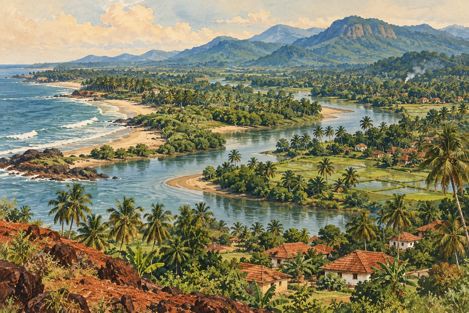
A 1991 marine-archaeological exploration report, preserved in the National Institute of Oceanography repository, discusses Barkur within a survey of South Kanara ports and historical sites. It connects the town with the Sita and Swarna estuarine setting and records visible remains of fortifications attributed to different political periods. The survey is particularly useful because it approaches the coast as a connected landscape rather than a set of isolated inland monuments.
That perspective helps explain why a political centre and a maritime world could belong together. A river offered a connection between inland landholdings and the coast, while a port’s usefulness depended on the shape and condition of its waterways. The report’s observations are historical observations from its survey period, not a guarantee of the present condition of every feature. Our rivers and estuaries guide explains how changing water, sediment and tidal conditions complicate any attempt to read the coast as a fixed map.
A sacred landscape with more than one tradition
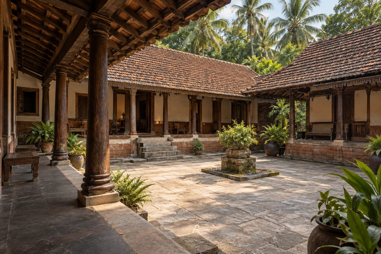
The 1981 census handbook lists several Barkur temples containing inscriptions and identifies Jain remains, including Kattale Basadi in the Hosalu area. It also records an old mosque and a dargah. This is enough to establish that the historical landscape cannot be described through one religious tradition alone. The present tourism account also identifies Panchalingeshwara, Batte Vinayaka, Kattale Basadi and the fort remains as major places of interest.
For a reader, the most useful comparison is between the kinds of evidence preserved at these places. An active shrine has a present community and current practice as well as older fabric. A ruin may preserve architectural relationships while losing much of its original setting. An inscription may survive beside a building that has been altered. These differences matter more than an unsupported ranking of which site is oldest. The Udupi cultural guide places Barkur beside other district histories, including Karkala’s Jain heritage and the working coast at Malpe.
Keep the famous legends in their proper register
Barkur is often associated with a story of 365 temples, one for each day of a ruler’s year. Karnataka Tourism presents this explicitly as local folklore. It is a memorable expression of the town’s reputation as a sacred centre, but it is not a verified inventory of surviving or excavated buildings. Repeating the number without its status turns a tradition into a misleading statistic.
The 1981 handbook similarly treats Bhutala Pandya, to whom the Aliyasantana inheritance tradition is ascribed, as legendary. A story explaining the origin of a social institution is different from a contemporary document recording its practice. Both can be preserved, but they answer different questions. The legend tells us how an origin has been narrated; a dated record can show that a particular relationship or transaction existed at a particular time. Confusing them makes both folklore and history less precise. Preserving the distinction lets the story retain its cultural meaning without forcing it to carry a date it cannot establish.
What a careful reading of Barkur gives us
The strongest picture emerging from these sources is of a changing regional centre: politically important under more than one order, connected with waterways, and sustained by relationships among rulers, merchant organisations and religious institutions. That is a more substantial history than a claim to the greatest antiquity or the longest reign. It explains how a place worked, not merely why it should be admired.
The clearest connections are between political authority, religious institutions, merchants and water. The Alupa and Vijayanagara references explain Barkur’s administrative importance; the grants reveal relationships between donors and institutions; the sacred remains show more than one religious tradition. The larger Tulunad guide places these connections within the region’s coastal and inland geography.
Research notes
Census of India: South Kanara District Census Handbook, 1961; Census of India: Dakshin Kannad District Census Handbook, 1981; Nagendra Rao: Muslim Merchants in Pre-Modern South Western India, Indica 43(2), 2006, pp.127–138; Nagendra Rao: Land Grants in Early Medieval Goa, Indica 41(1), 2004, pp.63–72; Census of India: Dakshina Kannada District Census Handbook, 2011; Sundaresh: Preliminary Exploration of South Kanara Coast of Karnataka, Journal of Marine Archaeology 2, 1991, pp.55–59; Karnataka Tourism: Barkur.
Research checked 7 October 2026. Our editorial approach.