A river is more than the line beside a place name
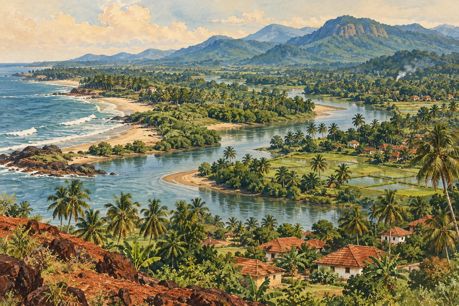
A map can make a river look like a narrow blue line. On the ground, its life depends on a much larger area: the catchment from which rain, soil and water reach its channels. At the coast, that inland system meets tides and seawater. This is why Tulunad’s rivers cannot be understood by looking only at their mouths or only at their mountain sources.
The Netravati and Gurupura are central to Mangaluru’s water geography. The Swarna and Sita form another important estuarine system near Udupi. They share a regional setting without having identical catchments or histories. Comparing them is useful precisely because it shows how different rivers connect communities to the same coast. An estuary is a mixing environment, not simply the point where a river ends. The transition can extend along channels, wetlands and shorelines, with its conditions changing through the seasons and over each tidal cycle.
Netravati connects upland tributaries with the city
The Indian Institute of Science’s 2018 Netravathi basin report identifies the meeting of the Netravati and Kumaradhara at Uppinangadi and the river’s role as a water source for Mangaluru and other towns. Its wider basin analysis includes forested uplands, agricultural land and settlements. This places urban water use within a landscape that reaches well beyond the city boundary.
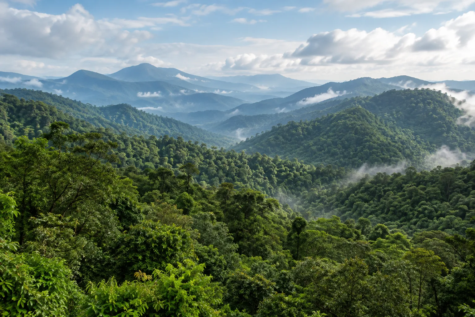
The distinction between a river and its tributaries also matters when reading local accounts. A place associated with the wider Netravati system may stand on a tributary rather than on the main channel. The catchment is the connecting unit. From that perspective, an upstream land-use decision and a downstream water concern are not unrelated stories. They belong to different parts of one system. Our Western Ghats guide follows the ecological connection further inland, while the Mangaluru heritage guide considers how the lower rivers shaped the city’s maritime past.
Gurupura and Netravati share an estuary, not one identity
A study by E. J. John and K. P. Cheryan, preserved in NITK’s research repository, examines the estuary where the Netravati and Gurupura meet before entering the sea. It treats waves, tides, river flow, sediment and ocean currents as interacting influences on the estuary’s form. That approach is more informative than assuming the river mouth is a permanent opening with fixed banks.
The shared outlet does not erase the distinction between the two rivers upstream. It creates a place where river discharge and coastal processes combine. Sand and other sediment can move under more than one influence, so the shape of the mouth is a changing feature of the estuary. The same confluence also belongs to the history of Mangaluru’s old port, making it a meeting point of urban and environmental history.
Swarna and Sita offer a second estuarine comparison
Researchers from Manipal and collaborating institutions have studied dissolved carbon and silica along the salinity gradient of the Sita-Swarna estuary, alongside other west-coast systems. Their work treats the estuary as a place where material carried by rivers can change through physical and biological processes before reaching the sea. It is not merely a pipe transferring an unchanged load offshore.
This is a useful way to connect a familiar place with less visible environmental activity. Water carries dissolved substances as well as the suspended sediment that makes it appear cloudy. Some processes cannot be understood by colour or surface appearance. The paired name Sita-Swarna describes an estuarine connection; it should not be used to imply that every settlement or tributary within the system has the same characteristics. For the historical setting near the Sita, the Barkur guide explores the relationship between waterways, political centres and the evidence preserved in a coastal town.
Mangroves are specialised habitat, not untidy waterfront
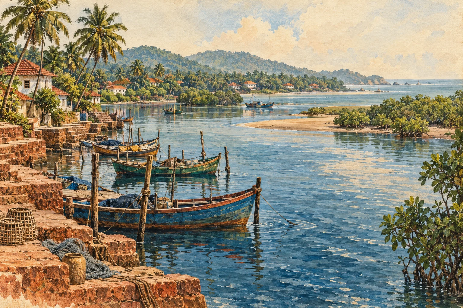
An IISc review of coastal mangroves identifies both the Netravati-Gurupura and Swarna-Sita-Kodi systems among the estuarine complexes with mangrove vegetation in Dakshina Kannada and Udupi. The important point is their presence within a network of different coastal habitats, rather than an assumption that every riverbank is or should be covered with mangroves.
NOAA’s estuary education material explains the adaptations that make mangroves suited to waterlogged soils, limited oxygen in the ground and varying salt exposure. Roots and sheltered water can provide feeding and nursery habitat. These functions help explain why a muddy or tangled edge can be ecologically valuable. A mangrove fringe, an open mudflat and a sandy mouth are different habitats within the wider coast, each shaped by its position in relation to water and sediment.
Monsoon and tide create different kinds of change
River discharge and tidal movement operate on different timescales. Rainfall across a catchment can alter freshwater input over a season or after a storm, while tides repeatedly change water level and movement near the coast. NOAA describes estuaries as habitats in which water chemistry and depth respond to that mixing. The result is a variable environment rather than a permanently fixed balance of salt and fresh water.
A sample taken during high freshwater flow may consequently differ from one taken in a dry period. Water near the mouth may also differ from water farther upstream. Salinity is therefore a changing gradient through an estuary, rather than a single value attached permanently to its name. The Netravati-Gurupura and Sita-Swarna systems both need to be understood through this interaction between freshwater flow and the sea.
Sediment research reveals what a scenic photograph cannot
A peer-reviewed study published in 2022 examined sediment cores from the Sita-Swarna estuary for grain size, organic carbon and trace metals. It investigated how sediment properties and chemical processes influence the distribution of those metals. The study provides a documented environmental baseline for its samples and methods. It does not certify the current safety of every stretch of water, fishery or beach.
Appearance and environmental condition are different kinds of information. Clear water is not proof that all contaminants are absent, and cloudy water is not automatically evidence of an industrial discharge. Sediment, salinity, dissolved oxygen and contamination describe different processes. NOAA’s monitoring guidance accordingly uses several parameters rather than a single visual score. In the Sita-Swarna study, the sediment itself becomes evidence of processes that cannot be read from the surface alone.
A living coast calls for context and care
The National Centre for Sustainable Coastal Management identifies depth changes, rocks, waves and currents among the factors in beach safety assessment. A river mouth is therefore not an automatically safe swimming or walking destination because a photograph shows calm water. This guide provides geographical and ecological orientation, not directions onto sandbars, into channels or along unassessed waterside routes. Local restrictions and official ocean or weather advisories govern access and activity.
The named rivers bring different local connections into one coastal system: Netravati joins Kumaradhara at Uppinangadi, meets Gurupura near Mangaluru, and supports the city’s water needs; the Swarna-Sita estuary connects the Udupi-side coast with an inland catchment and the Barkur landscape. These relationships link upland vegetation, farms, towns, estuarine habitats and the Arabian Sea. The Tulunad overview places that geography within the region’s cultural setting.
Research notes
IISc: Carrying Capacity of the Netravathi River Basin, study area, 2018; NITK repository: John and Cheryan, Geomorphological Studies of the Estuary of River Netravati Near Mangalore, 1975; Manipal research repository: Dissolved carbon and silica fluxes from Kali, Sharavati and Sita-Swarna rivers; IISc: Conservation and Management of Mangroves in Uttara Kannada, coastal overview; NOAA: Adaptations to Life in the Estuary; NOAA Fisheries: Estuary Habitat; Environmental Monitoring and Assessment: Trace metal contamination in Sita-Swarna estuarine sediments, 2022; NOAA: Monitoring Estuaries; National Centre for Sustainable Coastal Management: Beach Safety and Risk Assessment.
Research checked 7 October 2026. Our editorial approach.