The hills are part of the coast’s story
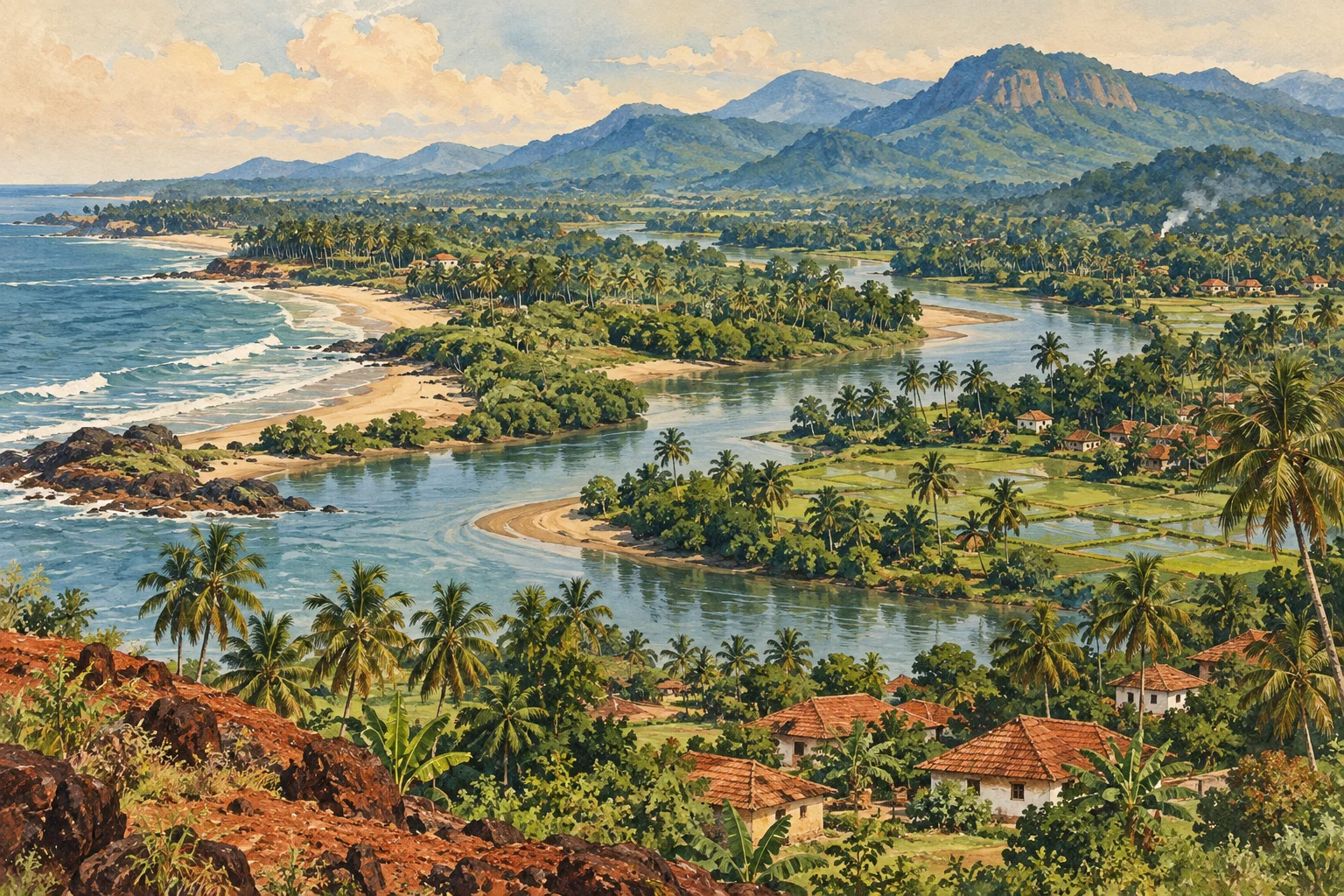
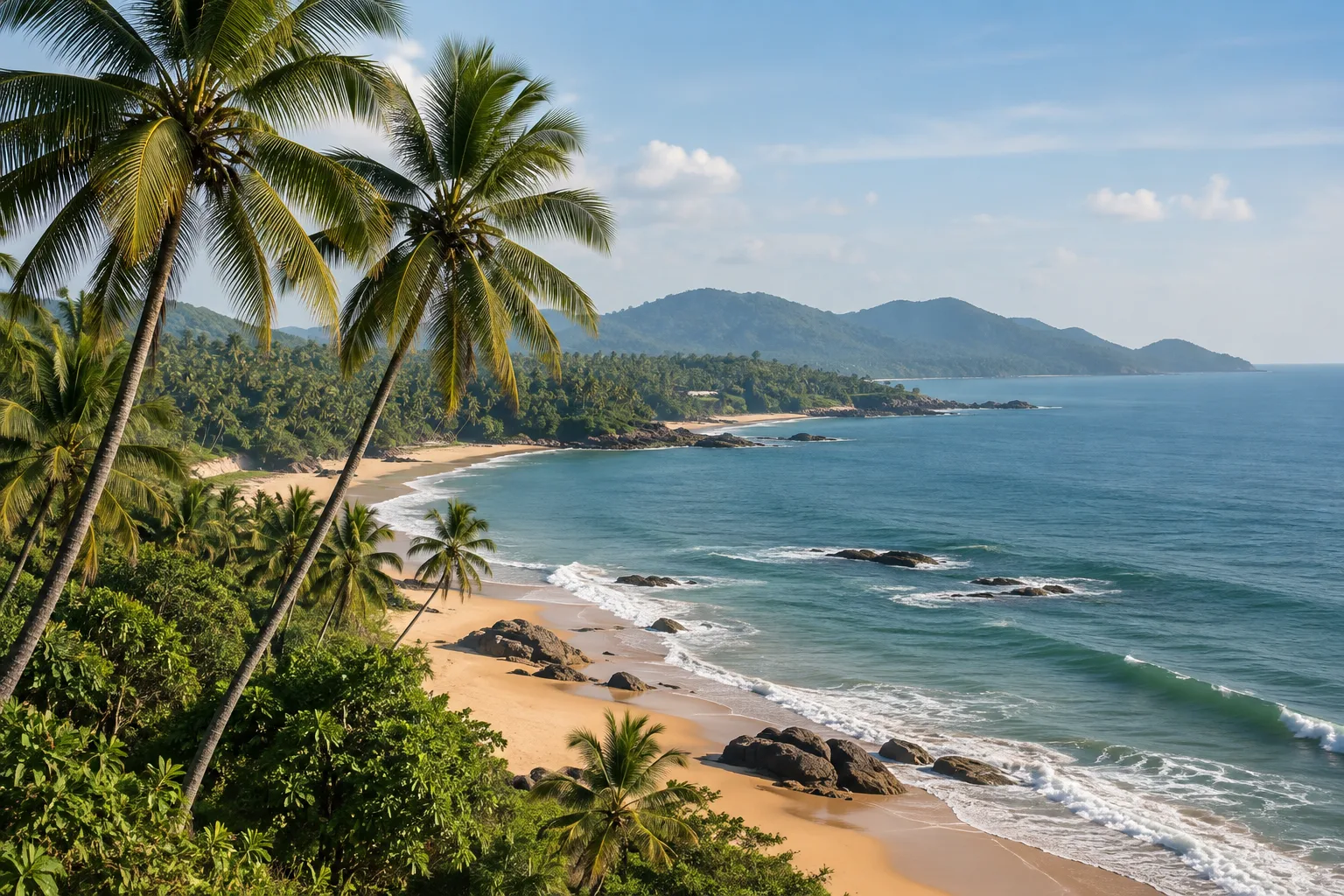
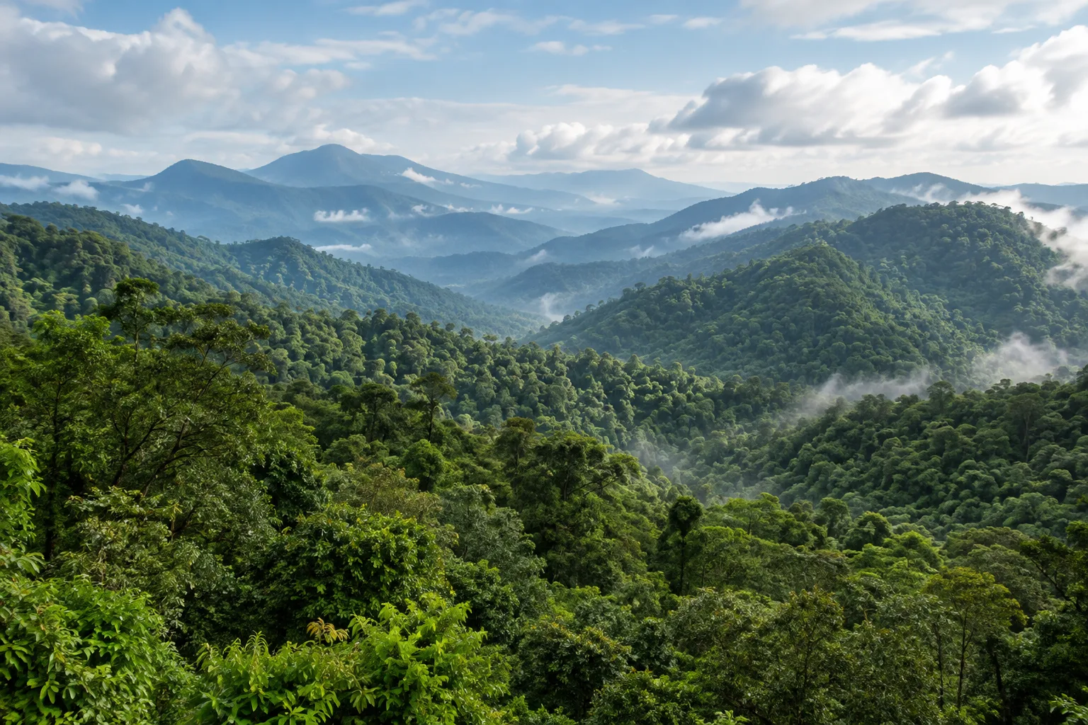
The Western Ghats are often presented as a green backdrop to coastal Karnataka. Their role is much more substantial. The mountain chain affects rainfall, contains river catchments and supports habitats whose condition matters downstream. Understanding Tulunad’s coast therefore requires looking inland, beyond the beach, estuary and city.
The reverse distinction is equally important: the Western Ghats extend far beyond Tulunad. They are a long mountain system, while Tulunad is a cultural region whose boundaries are described in different ways. A national park in Karnataka is not automatically a park in Tulunad, and a place connected to the coast by a river need not share every aspect of coastal identity. This guide focuses on ecological relationships and a few relevant examples. It does not redraw the cultural map around every scenic location advertised within driving distance of Mangaluru or Udupi. Our Tulunad overview explains that cultural and administrative distinction more fully.
Why the monsoon meets the mountains differently
The India Meteorological Department explains the Western Ghats as an orographic barrier on the west coast. In simple terms, moist air is forced upwards by the terrain, cools and can release rain. This helps explain the intense southwest-monsoon rainfall associated with parts of the coast and the windward slopes. It does not imply that every location receives the same amount in every year.
For a regional reading, the important feature is variation. Elevation, exposure and the position of a valley all matter to how a landscape receives and moves water. A district-wide average cannot describe every hill or village. Likewise, a photograph taken after rain is not evidence of an unchanging climate. The monsoon is a recurring system with substantial variability within a season and between years. Thinking in those terms connects the dramatic appearance of the hills to the less visible work of measurement, forecasting and long-term weather records.
A World Heritage property is not the whole range
UNESCO’s Western Ghats inscription is a serial property made up of 39 component areas grouped into seven sub-clusters. It recognises exceptional ecological processes and biodiversity, including high levels of endemism. Endemic means restricted to a particular geographical area; it does not mean that a species is common everywhere within that area.
The distinction between the range and the inscribed property prevents several misleading shortcuts. A place can lie in the Western Ghats without being within a World Heritage component. A species recorded somewhere in the range is not guaranteed at a particular viewpoint. And a World Heritage label is not a promise of public access to every forested slope. These are different questions: geographical setting, conservation designation, species distribution and visitor permission. A useful guide identifies which one it is answering. The ecological importance of a landscape should be understood through those specific relationships, not through the repeated use of a prestigious label.
Kudremukh shows why grassland is part of the picture
Karnataka Tourism describes Kudremukh through both forest and open grassy slopes, and its trek account identifies shola forest and grassland in the protected landscape. This combination is a useful correction to the idea that every treeless patch in a wet mountain region is damaged forest. A natural habitat can be open, and its value cannot be judged only by how many tall trees appear in a photograph.
The Nature Conservation Foundation’s Western Ghats restoration programme works on both tropical rainforests and montane grasslands. It also documents invasive wattle in grassland settings. The broader implication is that restoration must match the habitat: planting trees indiscriminately is not the same as restoring an ecosystem. For a reader looking at an image of Kudremukh, the pattern of open slopes and forest should therefore be treated as something to understand, not automatically something to correct. The national park is a specific protected landscape within the Ghats, rather than a convenient label for all hill country east of the coast.
Someshwara crosses an administrative boundary
A Ministry of Environment notification describes the eco-sensitive zone around Someshwara Wildlife Sanctuary in Udupi and Shivamogga districts. Karnataka Tourism identifies evergreen and semi-evergreen forest among the sanctuary’s habitats and places it in the Agumbe-side landscape, northwest of Kudremukh. These references show why current protected-area documentation is more useful for boundaries than a simplified tourist map.
The example also clarifies three distinct areas that are often confused: a sanctuary, the zone around it and the broader landscape in which both sit. An eco-sensitive zone is not simply another name for the sanctuary itself. This article uses the notification to establish the geographical distinction, not to offer a complete account of current legal permissions. Forest access remains a matter for the responsible authorities. For cultural geography, the lesson is straightforward: a forest can connect districts and watersheds without requiring every part of it to be assigned the same regional identity.
Small stream animals reveal relationships that views miss
A 2005 study by K. A. Subramanian, K. G. Sivaramakrishnan and Madhav Gadgil examined stream insects in Kudremukh National Park. It found that the diversity and composition of insect communities differed among streams with different adjoining land uses. The results were not a simple ranking in which every habitat type behaved identically. That complexity is part of what makes the study valuable.
The research shows that a stream is connected to the land beside it. Conservation cannot be reduced to keeping a strip of visible water clean while ignoring its banks and catchment. It also shows why small organisms deserve attention alongside familiar large mammals. Their distribution can reveal ecological differences that a distant landscape photograph misses. This is a study of particular sites and conditions, not a current biodiversity census of every stream in the region. The rivers and estuaries guide follows the same connected approach downstream, where river water meets coastal processes.
Connected habitat matters beyond the protected-area line
Research held by the Wildlife Institute of India examines how forest fragmentation and microhabitat conditions affect reptiles in the southern Western Ghats. Its geographical focus should not be mistaken for a survey of Tulunad. Its broader conservation question is nevertheless relevant: what happens when a formerly connected habitat becomes a set of separated patches, and when the conditions within those patches change?
The Nature Conservation Foundation’s restoration work similarly considers the wider landscape around forest remnants, including native-tree diversity on surrounding farms and agroforestry land. These approaches help explain why a protected area cannot be understood as an isolated green island. The land around it can influence movement, water and ecological connections. That does not make a plantation identical to natural forest, or imply that all farming has one ecological effect. It means that the arrangement and character of land uses matter. Conservation is more precise when it recognises those differences instead of labelling everything green as equivalent.
See the region as a relationship, not a checklist
Coastal Karnataka and the Ghats can be read through several linked processes: moist air meets elevated terrain; rain enters catchments; streams pass through different land uses; rivers reach settlements and estuaries. Within that sequence, forest, grassland, agriculture and inhabited places each have distinct roles. The same landscape can be culturally important and ecologically complex without being reduced to either a scenic backdrop or an untouched wilderness.
Kudremukh’s forest-grassland pattern, the Someshwara sanctuary landscape and the Netravati catchment make those connections locally visible. None stands for the entire mountain range. Forest-department directions and seasonal restrictions govern access to protected areas. Read alongside Udupi’s wider cultural landscape and Mangaluru’s history, the Ghats become part of the region’s inhabited geography, with effects that reach from mountain rainfall to water supplied in coastal towns.
Research notes
UNESCO World Heritage Centre: Western Ghats; India Meteorological Department: Frequently Asked Questions on Monsoon; Karnataka Tourism: Kudremukh National Park; Karnataka Tourism: Kudremukh Trek; Nature Conservation Foundation: Restoring Damaged Ecosystems; Ministry of Environment: Someshwara Wildlife Sanctuary Eco-sensitive Zone notification; Karnataka Tourism: Someshwara Wildlife Sanctuary; Subramanian, Sivaramakrishnan and Gadgil: Impact of riparian land use on stream insects of Kudremukh National Park, 2005; Wildlife Institute of India: Reptilian species distribution, fragmentation and microhabitats in southern Western Ghats rainforests, 2001.
Research checked 7 October 2026. Our editorial approach.